The drive down to Puerto Peñasco from Arizona currently includes some interesting construction spots along the way. When coming from Phoenix down through Gila Bend, you will surely note the overpass work going on just as you come into town – check signs carefully for turnoffs, etc.
Then, just after you cross the border and work your way through Sonoyta, work is still taking place on the bridge that is used by most as the way into town, past Vasquez Licores, and South to Rocky Point. Our amigos at Rocky Point Times have been doing a great job of keeping people updated on Facebook with pictures, and even a Google map that helps illustrate the detour in Sonoyta (which curiously, is already a favorite route of many amigos). **Updated info: The replacement of the 45 year-old bridge in Sonoyta is expected to take approximately 4 months (through October 2012), according to information gathered from DeDeveras (June 26, 2012).**
Alternate route through Sonoyta:
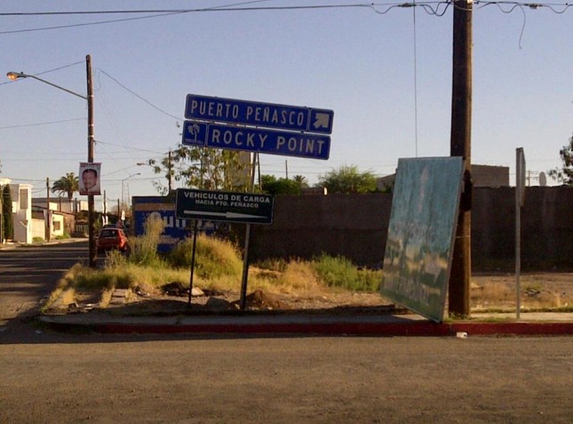
When coming into Sonoyta, after you come around the curve and start down into town, veer right by the Circle K and then a few blocks down you will take a left on Benito Juarez, which will take you back over to 16 de Septiembre, turn right and follow this out until it meets up with Federal Highway 8 again. Look for signs that say “Desviación” (Detour) or those with arrows pointing to Puerto Peñasco/Rocky Point.
Have a safe trip down! Gracias RP Times for the info and pics!