General location: Puerto Peñasco is nestled in the northwestern corner of the Mexican state of Sonora, on Mexican highway #8 approximately 65 miles from the Lukeville, AZ/ Plutarco Elias Calles (Sonoyta) border crossing. It is important to note the Lukeville/Sonoyta border entry is closed from midnight until 6 a.m. Puerto Peñasco can also be easily reached by car from California and southwestern AZ along the new Coastal Highway 003. Travel Maps
Travel by road continues to be the most common way to get to Puerto Peñasco though in July of 2013 Aeromexico launched new flights between Las Vegas, NV – Puerto Peñasco – Hermosillo (flight schedules available Thursdays and Sundays). The Mar de Cortes International Airport is located just 9 miles southeast of the city, offering full-services for individual planes in transit or visiting Puerto Peñasco.
Driving tips & shuttles: When planning a trip to Rocky Point, you may choose to drive (be sure to get Mexican insurance ahead of time – available online through different sites [plus, two local companies: Alejandro Portugal and ProAlliance] as well as at numerous offices along the route to Lukeville) or you may opt for drive-free travels by choosing a shuttle service.
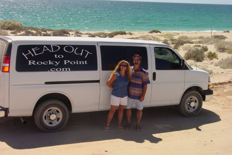
 For door to door shuttle service from Phoenix we recommend Head out to Rocky Point (*Service from Tucson sometimes available for larger groups).
Other options from Phoenix include Nena’s and Transporte Supremo (sometimes more economical, though not door to door). Transporte Suprema has daily schedules between Phoenix and Rocky Point. In Rocky Point, their office is located at Calle Lazaro Cardenas y Sinaloa (near Candy Cake).
KEEP IN MIND: When traveling with shuttle services, as you cross back into the U.S. you will need to carry your own luggage through the U.S. customs checkpoint at the border and then meet up with the shuttle on the U.S. side. Luggage with wheels is particularly shuttle-travel friendly!
When driving….watch the speed limit signs!!!! This is particularly true when nearing and going through Ajo and through Sonoyta just as you cross into Mexico. Important: the traffic signs in Mexico are in kilometers and just as you cross the border you will see signs that go from 20 kilometers to 40 kilometers and then back to 20, and often policias are there ready to remind you. When driving back to the U.S. border it is VERY IMPORTANT to drop your speed to 40 kilometers/hour just as you near the final curve leading into Sonoyta. Be sure to review our notes on Crossing the Border as to how much and what you can bring down!
